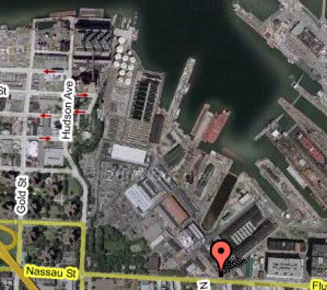
Here’s a current-day Google hybrid map of the same area of the Brooklyn Navy Yard pictured below in an 1850 map. The big thing to notice is that in 1850 much of today’s navy yard was still under water; there must have been a big landfill project sometime afterward. Corie Trancho was kind enough to send me an email of her assessment of the 1850 map:
I don’t think that any of those shaded images were the Officer’s Row houses. The configuration of the yard is a little strange in that map, but the houses would probably have sat somewhere to the right of the triangular area.